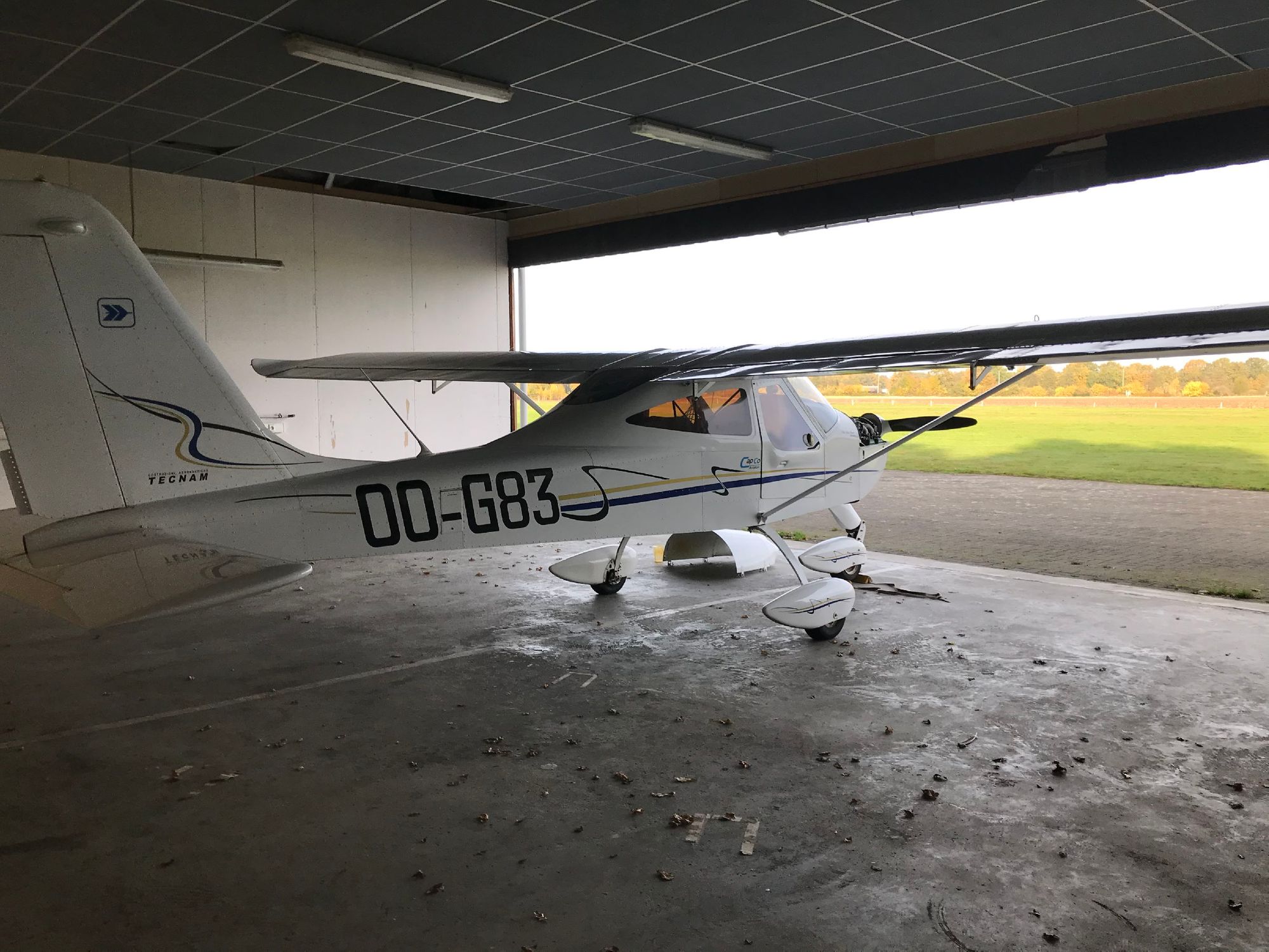
This flight, we finally performed my navigation flight EBZH (Hasselt) to EBTX (Theux).
I had prepared my trip up front with a straight line up until Verviers. We cross Bilzen and Visé.
It was a little more tricky than the previous navigation due to the airspace limitations as we fly next to the airport of Liege / Luik (EBLG).
There's a 2000 ft AMSL ceiling under which we must stay, at the same time the ground elevation 500 ft. Which gives us 1500 ft to fly in.
My plan was to maintain a height of 1500 ft during the whole flight except for the last part at EBTX. The airfield elevation is 1100 ft so the circuit is at 2100 ft AMSL. Above the airfield is some controlled airspace at 3000 ft AMSL.
Landmarks
Another tricky part is that at some point we MUST climb but only after we're no longer constraint by the ceiling of 2000 ft. My instructor told me what land-mark to look for to know when I could start climbing. This was a landmark not really on the map: it was a hill from a mine site at Blegny
Eventually we used the following landmarks:
- The Albert Channel
- The E313 highway
- The city of Bilzen
- Windmills on our path from Bilzen to Visé
- The dock at Visé (easily visible and points directly to where we want to go!)
- The mining hill at Blegny
- The E40 highway at Verviers
- The city of Verviers
- A road running next to the airfield
On the return, we mostly used the same landmarks.
Weather
The weather was wonderful and visibility was great. Although on our leg to EBTX we did have the sun in front of us, which reduces visibility a bit. On the way back I could almost see the entire way to our home base, so navigation was easy.
Before I leave I always calculate my course corrections for the wind. But the wind had picked up since I checked the meteo, so these corrections were insufficient. On top of that the direction changed from 130° to 180°, which also meant I was getting the wind from the right instead of the left.
So I corrected my course based on the landmarks we knew we had to cross. We use the timer in the airplane to check that we are where we expect to be.
The air was really calm the whole trip, except when we entered our circuit at home (EBZH) then it suddenly got bumpy. Funny how that works ...
Language Barrier
To my surprise, at EBTX, they do not speak English on the radio but French. This also meant announcing your position in the circuit was done in French.
This set me back a little, because I'm not very good at French and I have no idea what downwind, base and final are in French.
- Downwind: "le vent arrière"
- Base: "l'étape de base"
- Final: "l'approach finale"
See https://lahso.megginson.com/2007/09/30/some-french-aviation-terms/ for more terms!
It got even worse, when we arrived they rambled a whole thing in French over the radio that I almost did not understand. Luckily my instructor was there. They said to do a short landing on the first third of the runway, and taxi out to the RIGHT even though normally on that airfield you taxi out to the LEFT.
If I was alone, I should've asked: "say again".
Scenery
Where I'm from, the land is mostly flat. But at EBTX it starts to get a little more uneven with hills and valeys. This makes for beautiful scenery. On top of that the visibility was great so we could see really far out. It was really nice but I was still quite focused on the plane.
Leaving the Airfield
I'm so used to flying circuit, that in my last solo flight I wasn't to sure how to actually LEAVE the circuit.
On my planning, my route started exactly where the airfield is. To fly out we did the following: take-off and fly like you would a circuit but keep climbing. We then turn back to the airfield (but well above circuit height) and make sure that when we are overhead we have our nose pointed to the correct course.
We did the same on the other airfield.
Check out the GPS track to see that.
Landing at Another airfield
This was actually the first time I really landed somewhere other than at EBZH.
I was prepared to know where the downwind started, so I was able to find it. Additionally I succesfully estimated where to turn base. So overall my approach was nice.
The thing that was tricky is that the runways goes uphill a little in the beginning, but it was actually as different as I expected.
PPR
Additionally, since this is a private airfield I had to call in first to announce my arrival. This is the so-called "PPR" (Prior Permission Required). In this case it meant calling the airfield and announcing when you expect to arrive.
I use my very best French but the person answering the phone spoke a bit of Dutch too. So we had a good conversation. I accounced where I was coming from, the immatriculation of my plane and when I was expecting to arrive.
I got information about which runway was in use and how the wind was doing (not a lot but fully cross-wind).
Landing Fee
When you land at another airfield, there is usually a landing fee. In this case it was €5. How that works depends on the airfield. Here there was a note about my arrival next to an envelop for me to put €5 in and put in the box.
Additionally, you must write your arrival and departure in the airfields log book.
Entering the Circuit
I was a little worried about this: how do you enter the circuit. But it's really mostly:
- Listen on the radio to know if someone else is flying (in our case, one other person was flying touch-and-go's)
- Join at the beginning of the base-leg and announce where you are
- Fly the circuit as usual
- Land
When you're at an airfield you don't know, you can first fly overhead (circuit height + 500 ft) and check the signal square. But in our case we already knew the runway in use. When we announced our arrival in the circuit we got some landing information from the people on the ground. So we flew into the beginning of the base-leg.
Things to Improve next time
I almost forgot my full flaps on both my landings! Must remember that.
I should do my checklists a bit faster.
Learn some French.
On the radio, be more clear: "Hasselt Radio, OO-G83 at the fuel station, taxi to holding point runway 09" while I said: "G83 taxi to runway 09 holding point" (what?)
Take more pictures (when not flying)!
GPS Track
Running costs
1:18 flying time: € 124.80
1 hour instructor time: € 36
Landing fee EBTX: € 5
Total: € 165.80